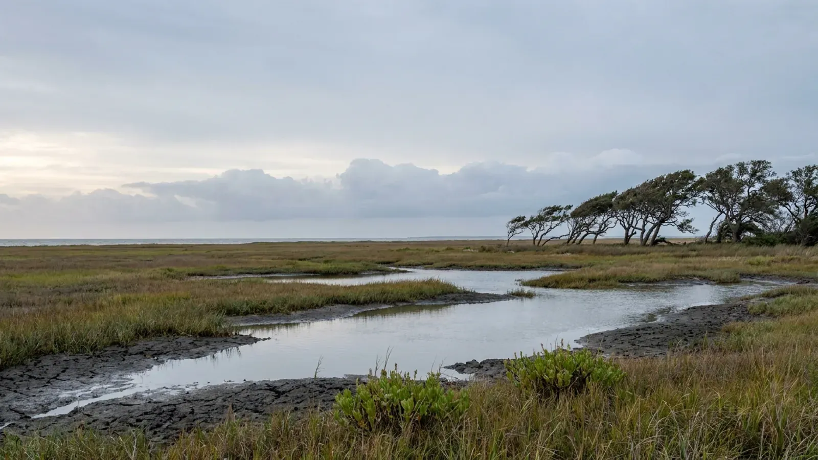
Barndominium Builders in Aransas County, TX
Aransas County is the bay-and-barrier county at the mouth of Copano and Aransas bays, and it is the one place on this site where a state rule beats the local code. Every acre of it sits inside the Texas Department of Insurance designated catastrophe area, so a windstorm certificate of compliance applied for on or after 1 April 2026 has to be certified to the 2024 International Residential Code, whatever the county did or did not adopt for itself. Nearly half the county's people live outside any city limit, on peninsula and bayfront land where the ground is barrier-island sand in one place and sodic clay with the water table at the surface in another. In the unincorporated county a development permit comes before any building or structure is erected, the septic permit is a separate application, and only a licensed installer may build the system.
Aransas County at a glance
- County
- Aransas County
- Population
- 26,146
- Where we build
- Rockport, Corpus Christi, San Patricio County, Nueces County
- Site visits
- Site walks arranged throughout Aransas County, Rockport included
ZIPs 78382, 78358, 78336, 78390, 77950
Building conditions in Aransas County
What actually changes from one Texas jurisdiction to the next: who issues the permit, whether the residential code is enforced there at all, what the structure has to be engineered to, and what the ground is like. These are the numbers your drawings have to satisfy.
Texas Department of Insurance, Adopted Building Codes, tdi.texas.gov/wind/adopted-codes.html, page dated 23 April 2026; 28 TAC Sec. 5.4013
Texas Insurance Code Sec. 2210.258(b), read from statutes.capitol.texas.gov; TWIA, Windstorm Certification, twia.org/windstorm-certification/
Texas Occupations Code Sec. 1001.056(c)(1), read from the rendered chapter text at statutes.capitol.texas.gov, 1 September 2026
Aransas County Amended Floodplain Management and Watershed Protection Order O-23-2019, Article 5 Sections A and D, published by Aransas County Road and Bridge
City of Rockport Code of Ordinances Secs. 22-522 to 22-528, Ordinance 1463, ecode360.com/41820012
U.S. Census Bureau Vintage 2025 population estimates, co-est2025-alldata.csv and sub-est2025.csv, www2.census.gov
Also worth knowing before you build in Aransas County
- Eighteen inches above the base flood, not one foot and not two
- The county's floodplain order requires that for all new residential construction the finished floor, or the lowest horizontal beam in applicable special flood hazard areas, be a minimum of eighteen inches of freeboard above the base flood elevation shown on the county-adopted flood insurance rate maps or other flood studies approved by the County Engineer. Non-residential construction gets the same eighteen inches, measured to the finished floor or to the level of dry floodproofing. The county's currently effective flood insurance rate map took effect on 20 December 2019, eleven days after the order was adopted.
- Flood and wind are two different regimes, and the order says which statutes it rests on
- Readers on a bay county conflate them constantly. The floodplain order's own statutory authorization clause names a set, and it is not the usual one: the Flood Control and Insurance Act, Subchapter I of Chapter 16 of the Texas Water Code, as amended, plus Local Government Code Chapter 240 Section 240.901, Chapter 232, Chapter 233 and Chapter 242. It names no Water Code section number at all. Reciting Chapter 233 as a source of authority for a flood order is not an adoption of the county residential building code, which is a separate act under a separate section. The wind side rests on Insurance Code Chapter 2210 and a Department of Insurance rule; the flood side rests on the Water Code, FEMA and the lender.
- Two islands in this county are in the federal coastal barrier system
- The U.S. Fish and Wildlife Service lists three John H. Chafee Coastal Barrier Resources System units touching Aransas County: T08 and T08P, San Jose Island Complex, and TX-06P, Matagorda Island. T08 is a System Unit, where most new federal expenditures and financial assistance including federal flood insurance are prohibited. The two units ending in P are Otherwise Protected Areas, where the only federal spending prohibition is on federal flood insurance, with an exception for park-related structures. This is a buy-or-don't-buy fact where it applies, and it applies to named barrier islands reachable by boat, not to Lamar, Holiday Beach or the mainland bayfront.
- You may not install your own septic system here, whatever the acreage
- Aransas County's on-site sewage facility order, Commissioners' Court Order O-07-02, lists its departures from the state rules exhaustively, and there are three. Every construction, alteration, extension or repair must be permitted and inspected regardless of the size of the tract of land. All construction of any type of on-site sewage facility can be performed by only a licensed installer, and no property or homeowner will be allowed to do the construction unless they are a licensed installer. And there is to be no homeowner or property-owner maintenance of an aerobic system; contracted maintenance must be by a TCEQ-registered certified maintenance provider.
- Letting the place out moves the septic permit to the commercial line
- The county's published 2026 environmental health fee schedule has a new residential installation permit at $400 and a separate line reading multi-unit, rental communities and commercial on-site sewage facility permit at $500, with verifications at $80. Same building, same drainfield, different permit and different fee, because of the use. This rule is published by the authorised agent in its fee schedule, not by the county's order, whose stringency list says nothing about rentals. Anyone planning a guest house, a short-term let or eventual income property should settle it in writing before the drainfield is sized.
- Who the septic authority actually is, from the state's own register
- TCEQ's authorised agent register returns three rows for Aransas County: Aransas County Authorized Agent, serving the entire county including the City of Aransas Pass; City of Aransas Pass Authorized Agent, administered by Aransas and San Patricio Counties; and TCEQ Region 14, Corpus Christi. Rockport and Fulton are not listed as their own agents, and TCEQ's printed instruction on that page is that if the city is not listed you contact the county. This matters because the county's own order reads as if city limits are carved out unless a city has contracted back in. The register is the one that tells you who to ring.
- The ground is sand in one half of the county and sodic clay in the other
- There is no separate soil survey for Aransas County; it is mapped with San Patricio as survey area TX620. Restricted to the Aransas County overlap, 294,119 acres are mapped and 120,338 of them are water. Of the roughly 171,000 acres that are not water, the Galveston-Mustang complex and Mustang fine sand account for about 69,000 acres, and those series run 93 to 95 percent sand from the surface to two metres, with a seasonal high water table modelled at eight centimetres. Against that sit Narta loam, Victine clay loam and Victoria clay, which are shrink-swell soils with linear extensibility from 6 up to 18.7. Two opposite foundation and drainfield problems in one small county.
- The surface lies here too, and it lies in both directions
- On Narta loam, the largest non-sand map unit in the county at 17,225 acres, the top 14 centimetres read 17 percent clay and the horizon underneath reads 36.7 percent. On Victine clay loam the surface reads 31.8 percent clay and the horizon from 15 to 61 centimetres reads 50 percent with a linear extensibility of 9.9. Meanwhile the Galveston series reads 0.1 percent clay and 95 percent sand at the surface and 0.5 percent clay at two metres, which is the opposite failure: it drains too fast for a conventional drainfield to treat wastewater by soil contact. A shovel test in the top few inches tells you the wrong thing on both.
- There is more water than land inside the county line
- The Census Bureau's 2025 gazetteer puts Aransas County at 252.271 square miles of land and 275.685 square miles of water. Water is 52.2 percent of everything inside the county boundary. And 33.8 square miles of the land, about 13 percent of it, falls inside no ZIP code tabulation area at all, because it is uninhabited barrier island. Rockport city accounts for 16.5 square miles of land and Fulton for 1.4. Anyone reading a county acreage figure and picturing buildable ground should halve it first, then take the islands off.
- The certificate is a sequence, and the first step is before you begin
- For a new build the chain is WPI-1, the application, filed with the Texas Department of Insurance on form PC350; then a WPI-2 inspection verification, which for work begun on or after 1 April 2026 is form WPI-2-BC-8, PC439; then the WPI-8 certificate, issued by TDI. Insurance Code Sec. 2210.2515(b) requires written notice of the intent to construct before the person begins to construct. Leave it until the building is closed up and the route changes: completed construction goes by WPI-2E to a WPI-8-E, which under Sec. 2210.2515(c) requires a Texas-licensed professional engineer on both limbs. TDI's own comment on that route is that because it is more difficult to inspect a completed structure for building code compliance, it may cost more.
- The route TWIA used to run itself closed in 2020
- TWIA once issued its own certificate for completed improvements, the WPI-8-C, but only for applications it received between 1 January 2017 and 31 May 2020. TWIA states that as of 1 June 2020 all certificates of compliance are issued by the Texas Department of Insurance. An existing WPI-8-C on an older structure still counts, which is why TWIA's eligibility page still names it, but it is not a route available to anything built now. The two statutory escape hatches are shut too: the 15 percent surcharge route covers construction up to 18 June 2009, and the other requires a private policy that was cancelled or non-renewed.
- No one here publishes a design wind speed, and that is the honest answer
- The county's floodplain order names none. It carries only the standard requirement that a pile or column foundation and the structure attached to it be anchored to resist flotation, collapse and lateral movement due to the effects of wind and water loads acting simultaneously. TDI no longer publishes one either: its current instruction is that the required wind speed must be determined for each structure based on the location of the structure, using tools such as the ASCE 7 hazard tool, and that most of the designated catastrophe areas are now inside the windborne debris region, so opening protection is a design requirement rather than an upgrade. The three zone names, Seaward, Inland I and Inland II, are current; the old zone numbers are not.
- In the V zones you may not build the pad up
- The floodplain order's coastal high risk section covers zones V1-30, VE, V and coastal AE, and it prohibits three things outright: the use of fill for structural support of buildings, man-made alterations of sand dunes and mangrove stands that would increase potential flooding damage, and construction seaward of the reach of mean high tide. Enclosed space below the elevated floor formed by breakaway walls may be used only for parking, access or storage. Elevated construction in the high risk areas also needs a registered professional engineer or architect to certify to the Floodplain Administrator that the section's standards are satisfied.
- One dwelling per lot, written on the plat
- The Aransas County Subdivision Regulations require that the plat contain a statement that each lot is limited to one single-family detached dwelling, citing 31 TAC Part 10 Sec. 364.2. The same section sets the lot minimums, and the county's development review fee schedule prices the plat stages separately, from a no-charge sketch plan meeting through master plan, conceptual plan, final plat and minor or amended plat, with infrastructure inspection charged as a percentage of construction cost. Platting is Chapter 232 authority and has nothing to do with building codes, but it is the gate a new tract goes through first.
- Climate zone 2A, hot and humid, on both maps
- Aransas County is climate zone 2A under the pre-2021 IECC and IRC maps and 2A under the 2021 and 2024 maps, in the Building America hot-humid region. It is one of the counties where the two maps agree, so an envelope specified to zone 2A is right whichever edition a supplier is working from. That matters more here than usual, because the code edition that governs certification moved to the 2024 IRC on 1 April 2026 while much of the local supply chain is still quoting from older editions.
Aransas County Order O-23-2019, Article 4; FEMA NFIP Community Status Book, community 485452, via the OpenFEMA API
Aransas County Order O-23-2019, Article 1 Section A, statutory authorization
U.S. Fish and Wildlife Service, Coastal Barrier Resources System Units by County, and its CBRA FAQs, fws.gov
Aransas County Rules for On-Site Sewage Facilities, Order O-07-02, Section 10, published by Aransas County Environmental Health
Aransas County Environmental Health Fees 2026, published by Aransas County Environmental Health
TCEQ On-site Sewage Facility Authorized Agent register, Find a Local Contact, www6.tceq.texas.gov/oars
USDA NRCS Soil Data Access, SSURGO survey area TX620 restricted to the Aransas County map unit overlap, SDMDataAccess.sc.egov.usda.gov
USDA NRCS Soil Data Access, SSURGO chorizon data for survey area TX620, SDMDataAccess.sc.egov.usda.gov
U.S. Census Bureau 2025 Gazetteer county and place files, and the 2020 ZCTA to county relationship file, www2.census.gov
Texas Department of Insurance windstorm forms listing and What you need to know about windstorm inspections, tdi.texas.gov; Texas Insurance Code Sec. 2210.2515
TWIA, Windstorm Certification and Coverage and Eligibility, twia.org; Texas Insurance Code Secs. 2210.258 and 2210.259
Texas Department of Insurance, Adopted Building Codes, tdi.texas.gov/wind/adopted-codes.html; Aransas County Order O-23-2019, Article 4
Aransas County Order O-23-2019, Article 4 Section F, Coastal High Risk Areas
Aransas County Subdivision Regulations, adopted 12 October 2009, and Aransas County Development Review Fees, published by Aransas County Road and Bridge
U.S. Department of Energy / PNNL-33270 climate zone shapefile, cross-checked against the published IRC climate zone tables
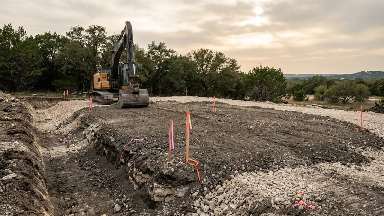
The expensive surprises are in the ground, not the building
What moves a Texas budget is usually below grade, and it is soil rather than rock: shrink-swell clay. The Blackland Prairie and the Gulf Coast clays move enough between a wet season and a dry one to drive the foundation design across the state's largest markets, which is why several DFW cities require an engineer's seal on the foundation of every new house. Those are the same conditions that decide whether a septic field passes its soil and site evaluation, so the grading plan, the foundation and the drainfield get resolved together rather than one at a time. We price the dirt before we price the building.
What we build in Aransas County
All nine of our services — kits, custom plans, post-frame and steel construction, site preparation, permitting and engineering, through to turnkey builds — are available across Aransas County. What a project costs depends far more on the parcel than on square footage, so we work from your land rather than from a rate card.
See what we buildWhat a build looks like
Three stages every Aransas County project passes through, from a raw parcel to a finished home. Site work first, because that is where the budget is decided.
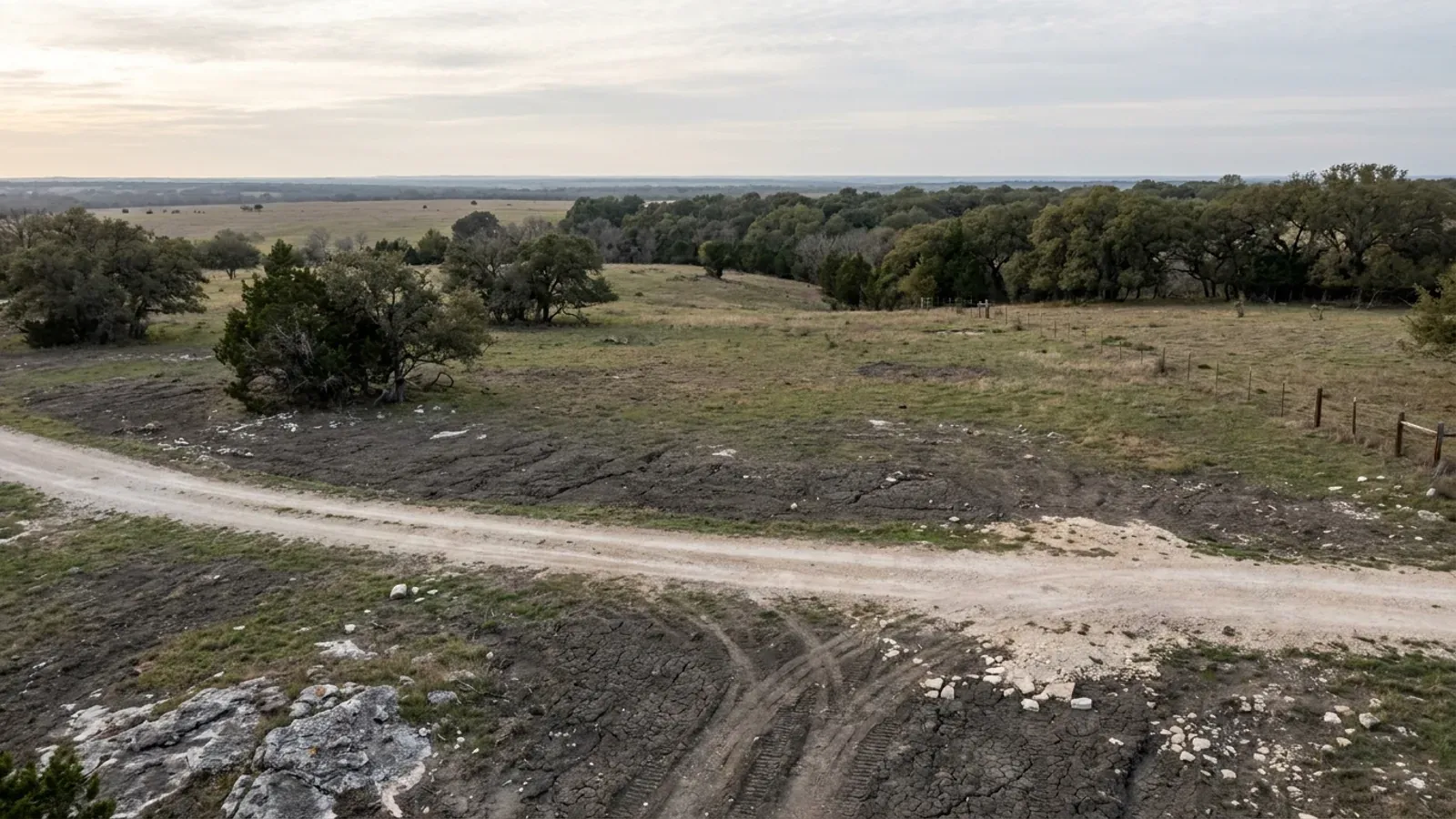
The parcel
Zoning, setbacks, flood zone and utility access get checked before anything is drawn.
Pad and permit
Clearing, grading and a compacted pad, while the submittal works through Aransas County.
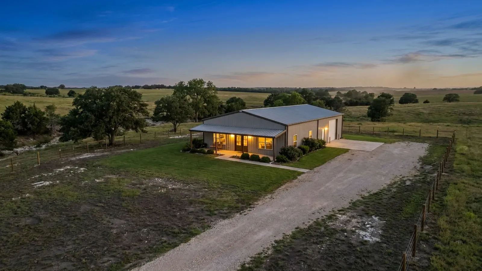
Frame to finish
Shell erected and dried in, then systems, insulation and interior finish through to CO.
Those are the rules for Aransas County. Tell us what you want to build and we will draw it to them.
Where we build around Aransas County
Aransas County and the rural land around it. The buildable acreage for a project this size usually sits outside the city limits, which is frequently what changes who issues your permit.
Keep reading
The questions that usually come next once you know what Aransas County allows.
Barndominium Cost Guide
Sourced per-square-foot ranges by tier and by size, with a calculator built on the same figures.
Read itIs It Legal in Texas?
Classification, zoning, the HOA gate, and why "nonresidential farm building" does not cover a home.
Read itHow Long Does It Take?
Census build-duration data, and what actually sets the permit clock where you are building.
Read itNearby areas we build in
Others we cover in this part of Texas. The permitting authority, the adopted design criteria and the zoning can all differ from one to the next.
Building in Aransas County: common questions
8 questions we get asked most often about building in Aransas County. If yours is not on the list, ask it directly.
Does Aransas County have a building code?
What is a WPI-8, and does a barndominium need one?
Can I put a metal-sided barndominium inside Rockport?
Do I have to use an engineer?
How high does the floor have to be?
Can I install my own septic system on my own land?
Is any part of Aransas County barred from federal flood insurance?
What does the county's development permit actually review?
Building in Aransas County?
Start with the plan. Tell us what you want to build and we will draw it, then confirm what Aransas County will actually let you put on the parcel and what wind load it has to meet. That conversation costs nothing.